


This year’s Minnesota spring was a rough one, with record late ice-out on local lakes and a generally cold and snowy April. I got through it by requesting free maps and travel guides from all 50 states, allowing me to imagine warmer places, or at least gather the daily mail with excitement.
After two months, I am officially declaring #springmapmadness over for this year. The results were pretty good, though not perfect. In requesting materials from 50 states, I received 45 maps or travel guides.
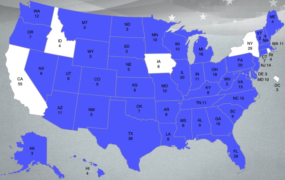 |
| I was disappointed to miss those last five states. New York and California weren’t surprising: big states with bigger problems. But Idaho, R.I. and Iowa? Come on, you guys! |
This was a good exercise. The kids got a geography lesson. I’m going to use all this stuff for some kind of photo when I have the time, and the maps will come in handy when we finally do get to travel more. The kids are getting a little older and we’re starting to get what John Fogerty called “that ol’ travelin’ Jones.”
I might do something like this next year, perhaps with European countries.
My last batch of pictures is below the jump (click on headline):
Here are some of the other map pictures I took in the last half of #springmapmadness:
 |
| Michigan, Virgina and Florida. |
 |
| I hope Neil Young will remember, the ice was still on the lake the day Alabama arrived. |
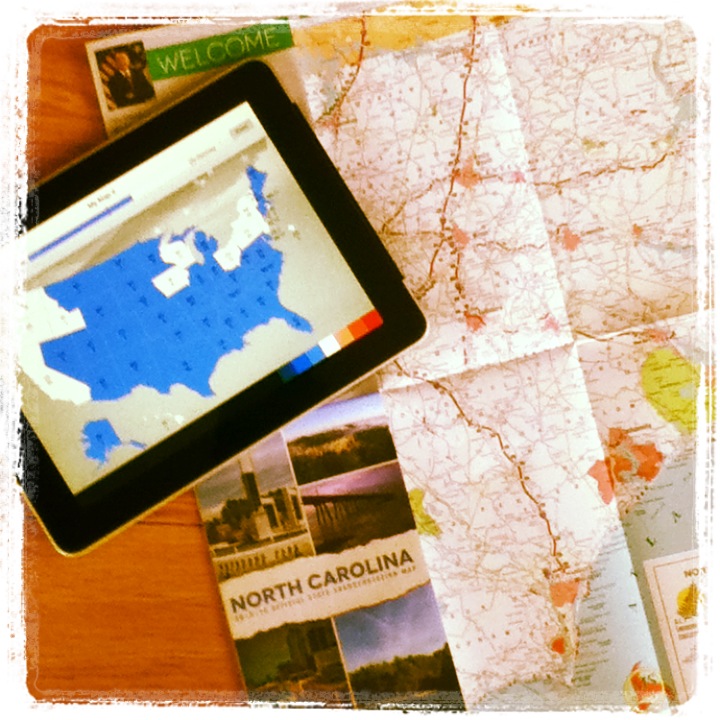 |
| North Carolina sent two batches of stuff. |
 |
| Oregon was my first West Coast state. |
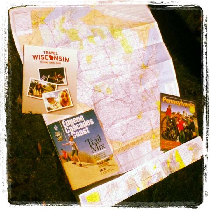 |
| Wisconsin and Pennsylvania. |
 |
| Vermont did a nice job. |
 |
| This kid was an odd introduction to Ohio, and the people in the background were just as skeptical as I was. |
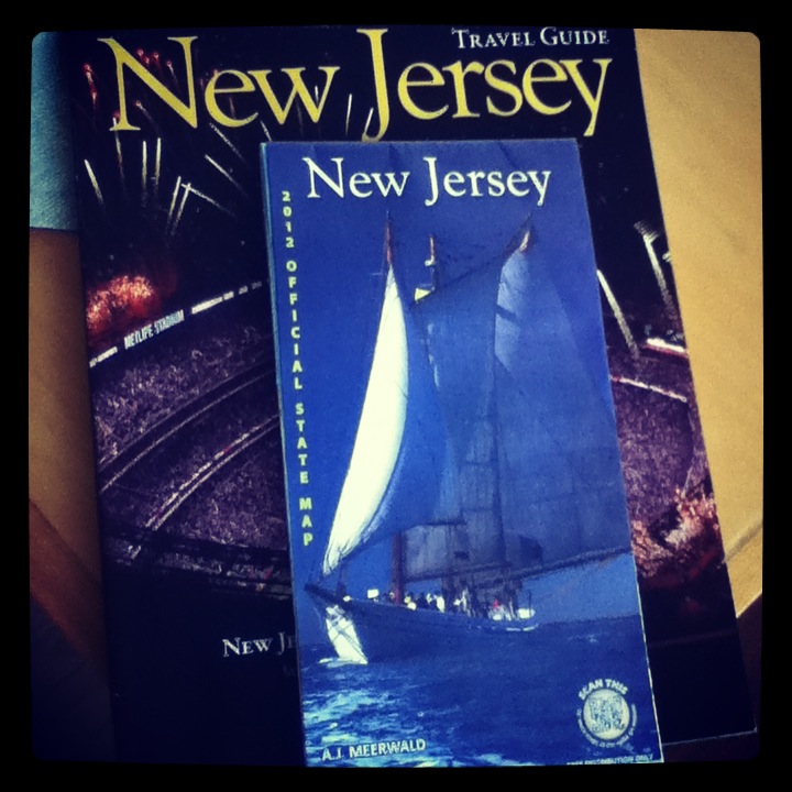 |
| New Jersey reminds us that it is near water. |
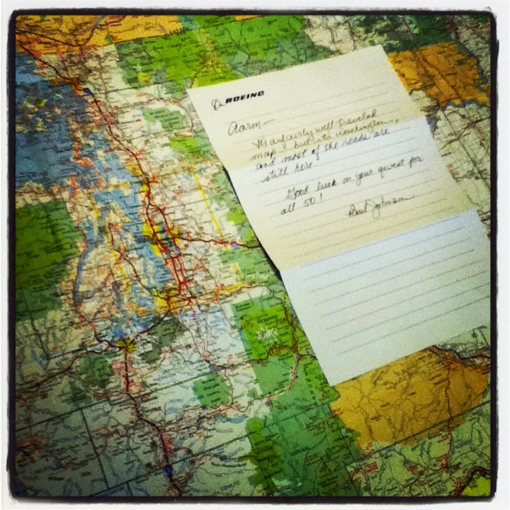 |
| Spring Map Madness officially ended when Paul Johnson helped me overcome Washington’s “charge for maps” policy. |
One response to “#springmapmadness wraps up with 45 states”
I could have sent you DC!